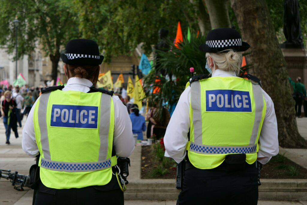
Romford, UK. February 2nd 2026 – CrimeSiren has launched as a new mobile app created to provide residents across England and Wales with timely, location-based crime information and practical personal safety tools.
The app, developed by Lantern 6 Studios, brings together official crime data, real-time alerts, and safety-focused features into a single platform intended to support informed decision-making rather than speculation.
Nathan O’Donnell, app developer and founder of Lantern 6 Studios Ltd, said CrimeSiren was created to address gaps in how crime information is typically shared:
“A lot of services show crime data, but they don’t necessarily help people feel informed or safe. I also felt there was a lot of misinformation circulating in informal online groups, which can create fear without context. CrimeSiren was designed to present information plainly and accurately.”
CrimeSiren allows users to view crimes reported near their home or chosen locations using an interactive map, offering a factual overview of recent incidents in their area. The app is now available on both the Apple App Store and Google Play Store.
In addition to crime mapping, the app provides contextual alerts when trends such as burglary, vehicle theft, or violent crime increase locally, enabling users to remain aware of changes over time rather than isolated incidents.
Nathan added that his own experience as the victim of a series of attempted break-ins during the development of the app reinforced the importance of its focus on awareness:
“I’ve had about three break-in attempts on my car while I’ve been building the app. I’ll never forget the day it snowed and I came out to find handprints all over the door handles.”
One of the app’s distinguishing features is its suspect tracking capability. When a crime occurs nearby, users may choose to follow a suspect associated with that incident.
The app does not display personal or identifying information, but will notify users if the suspect’s status changes, such as arrest, charge, or release. This feature is intended to reduce uncertainty following local crime events by providing status updates through official data sources.
CrimeSiren also includes a panic alert function designed to support users who feel unsafe. When activated, the feature initiates an in-app group call with trusted contacts and shares the user’s live location on a map.
The app additionally highlights nearby police stations, allowing contacts to assist in assessing the situation.
Another feature provides alerts when police aircraft are active in the user’s vicinity. Users can view helicopter activity on an interactive map, offering context for increased police presence in an area.
Additional functions include local crime statistics, vehicle theft risk alerts when a car’s likelihood of being targeted increases, and ongoing notifications tied to crime pattern changes near the user’s location.